


Media Alert: Low-level helicopter flights to image geology of Lake Superior Basin
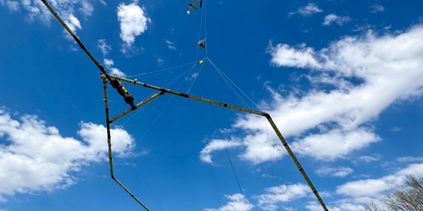

RESTON, Va. — The U.S. Geological Survey plans low-level helicopter flights over the Lake Superior Basin in western Michigan, northern Wisconsin, and northeastern Minnesota to image geology using airborne geophysical technology. The survey will begin in June and will continue into the fall, weather and other flight restrictions permitting.